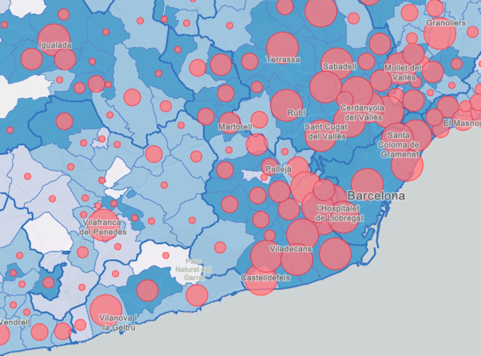
The Catalan Ministry of Health has expanded the official map showing the spread of coronavirus across Catalonia. When it was first published, at the end of March, it only incorporated cases that had been confirmed via a test in each of the 948 Catalan municipalities. Now the information has been amplified in several ways.
The map is interactive and allows you to focus on every municipality in Catalonia to check the exact number of people infected with Covid-19 as well as the suspected cases, who have been diagnosed medically as having symptoms but have not been able to take the test. As well the map show the proportion that each of these figures represents of the total population.
Below that, a second Catalan government map that divides the territory into Basic Health Areas (ABS). A point of special interest here is that in the case of larger municipalities, you can zoom in to these and see the breakdown by neighbourhoods, again divided by their local health care divisions.
The third map below shows the increase in mortality by counties (comarques).
Confirmed and suspected cases of COVID-19 in Catalonia by municipality
... and by neighbourhoods (in Basic Health Areas)
Deaths from COVID-19 in Catalonia by counties
GRAPHS | How is vaccination progressing in Catalonia?
GRAPHS | How is the coronavirus pandemic evolving in each part of Catalonia?
GRAPHS & DATA | Latest coronavirus statistics for Catalonia and Spain

